
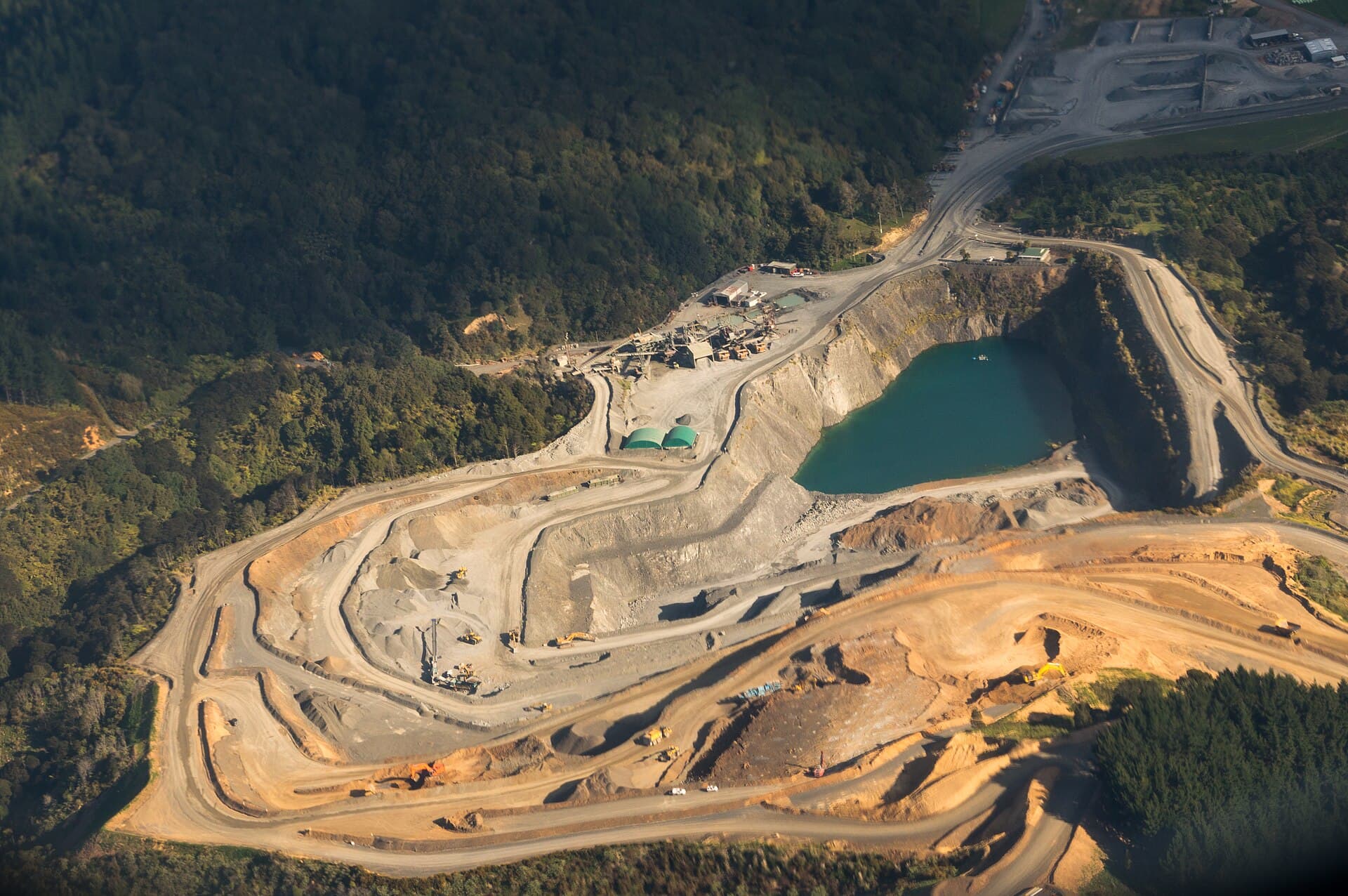
Mining and quarries
Survey-grade volumes, slope and tailings movement, and haul road condition, on a cadence a survey team cannot walk and a drone can fly before shift.
The survey team can measure anything, once
A mine already knows how to survey. It has instruments, it has surveyors, and the numbers it produces are good. What it does not have is frequency: a stockpile is picked up at month end because that is what the survey team can reach, a face is measured when somebody is worried about it, and a tailings facility is inspected on the interval the regulator sets. So the reconciliation argument between what was declared and what is on the ground is settled once a month, and slope movement is characterised from the passes that happened to be taken rather than from a continuous record.
Four failure modes, and what each one costs you late
The first two are safety events with a public consequence. The second two are the ones that quietly take the margin out of the operation.
Tailings facility movement
- How it shows
- Embankment displacement, freeboard loss, seepage, crest settlement
- What it costs late
- The failure mode this industry is judged on, and there is no recovering the reputation
- What catches it
- Repeat aerial survey against the previous pass, with movement expressed as a rate
Slope and highwall instability
- How it shows
- Crest displacement accelerating, tension cracking, ravelling at the toe
- What it costs late
- People and equipment are underneath it
- What catches it
- The same face flown on a cadence, so acceleration is visible rather than displacement alone
Stockpile and reconciliation variance
- How it shows
- Declared tonnes and surveyed volume diverging month over month
- What it costs late
- Reported production is wrong, and every downstream number inherits the error
- What catches it
- Volumes flown weekly rather than at month end, against the same surfaces and densities
Haul road and infrastructure decline
- How it shows
- Rutting, drainage failure, berm degradation, gradient drift
- What it costs late
- Tyres, fuel, cycle time and a rollover risk, all of it recorded as normal operating cost
- What catches it
- Road surface and berm condition captured on the same pass as the pit
Severity here is how we rank the class by default, not a judgement about your site. Every threshold is set per deployment, and a mode you consider routine can be dropped down the ranking on day one.
Six functions, on your pit
Everything above is your problem. These six are ours: what the layer actually does to a working pit and the plant behind it.
Fly volumes weekly, not monthly
Stockpiles and ROM surveyed against the same surfaces and densities every week, so reconciliation variance is a trend rather than a month-end surprise.
Express movement as a rate
The same face against its own previous passes, so the finding is that displacement has accelerated rather than that it has occurred.
Version the tailings facility
Embankment, freeboard and beach captured pass over pass, with movement and seepage measured against the last survey rather than described.
Capture the haul network
Road surface, drainage, berms and gradient on the same pass as the pit, because the cost of a bad road is paid every cycle and recorded as normal.
Read plant against the record
Conveyor, drive and motor telemetry with thermal survey, bound to the component and its maintenance history.
Build the compliance record
Surveys, findings, escalations and sign-offs held together, in the shape a tailings or mine inspectorate audit expects.
A crest moving faster than it moved last fortnight
The absolute displacement is not remarkable and would not trip a threshold. The second derivative is the finding, and it is only available because the same face was flown six times.
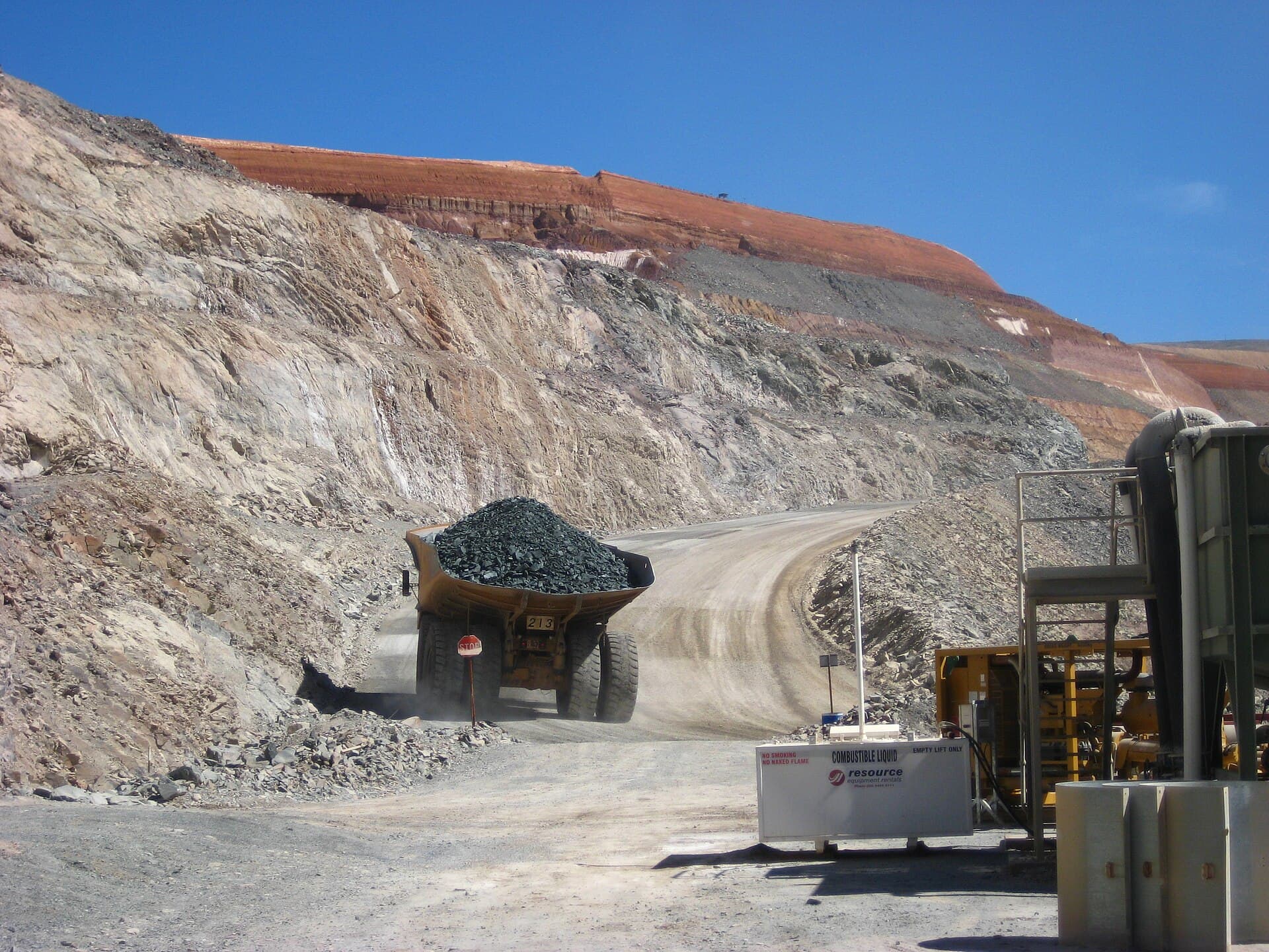
Crest displacement accelerating on bench 340
North pit · bench 340 · east face
- this period
- 40 mm / 14 days
- prior period
- 11 mm / 14 days
- confidence
- 0.94
- below
- Active haul route
Escalated to the geotechnical engineer
Ground control is above the autonomy limit and always will be. What the agent contributes is that the escalation arrived with six passes of history, the blast record and the fact that a haul route runs past the toe.
Identifiers and values are illustrative.
From one pit to the operation
It starts on the pit and the stockpiles, because volumes are the fastest place to demonstrate that the numbers agree with the survey team.
Connect the fleet and plant systems
Read-only from fleet management, plant control and any geotechnical instrumentation. Nothing is written back until you ask for it.
Fly the baseline
One full pass over the pit, the stockpiles, the tailings facility and the haul network, with ground control and a stated accuracy.
Run the cadence
Weekly on volumes and faces, monthly on tailings, quarterly thermal on plant. Everything from here is a comparison against the pass before it.
Widen across the operation
Naming, classes and the escalation defaults are agreed. The second pit or the next site is configuration.
Six things that land on your side
Artefacts, not access. Everything here exists in your systems and your formats whether or not anybody opens ours.
Pit and stockpile surfaces
Point cloud and surface model per pass, with ground control and a stated accuracy.
LAS · GeoTIFF
Volume reconciliation
Surveyed volume against declared tonnes per stockpile, week over week.
CSV · dashboard
Movement report
Displacement and rate per face and per embankment section, against the previous passes.
PDF · CSV
Haul network condition
Surface, drainage, berm and gradient condition across the road network.
GeoTIFF · CSV
Plant thermal report
Conveyor, drive and electrical hotspots with load at capture attached.
PDF · CSV
Compliance evidence pack
Surveys, findings, escalations and sign-offs exported together with provenance intact.
PDF · ZIP
Formats are the common case; the exact shape is agreed per deployment.
How often, and what for
These intervals are far shorter than a survey team can sustain, which is the entire argument. Nothing here replaces a geotechnical assessment; it changes how much evidence that assessment has to work with.
- Pit and highwallTypical cadenceWeekly, or per blastWhat the pass looks forCrest and face movement, tension cracks, ravelling, bench geometry against designReferenceSite geotechnical plan
- Tailings facilityTypical cadenceMonthly, plus after heavy rainWhat the pass looks forEmbankment displacement, freeboard, beach width, seepage, crest conditionReferenceGISTM
- Stockpiles and ROMTypical cadenceWeekly to month endWhat the pass looks forSurveyed volume against declared tonnes, surface change, segregationReferenceSite reconciliation standard
- Processing plantTypical cadenceThermal quarterlyWhat the pass looks forConveyor, drive, motor and electrical hotspots, structure and chute conditionReferenceManufacturer
These intervals are the starting points the standards describe, not a measured result of ours. Insurers, warranty terms and your own history will move them, and the point of planning from condition is that the interval stops being the thing that decides.
Four modules, one pit
A mine is the sector with the most instrumentation and the shortest memory. The fleet knows where every truck is and nothing joins that to what the face was doing at the time.
Detect
Flies the pit, the stockpiles, the tailings facility and the haul network, and produces surfaces rather than pictures.
Leaves behind
Survey-grade volumes, movement against the previous pass, and classified surface condition
Analyse
Connects to the fleet management system, plant control and any geotechnical instrumentation, and resolves each onto an asset.
Leaves behind
Production, plant and instrument history readable against the pit and the plant
Operations
Holds the asset register, the blast and work record, the plant maintenance history and the compliance evidence.
Leaves behind
The work order, the reconciliation record and the inspection trail
Decide & act
Reads the three together, escalates anything to do with ground control, and schedules the rest.
Leaves behind
Escalations to named engineers, and planned work for plant and roads
- 01O-EYEDetectInspection & digital twin
- 02O-ARCAnalyseSensors, IoT & telemetry
- 03O-OPSOperationsThe system of record
- 04actsO-AGENTDecide & actThe agentic layer
Every action writes back to the record, so the model sharpens with every job.
Questions
Is this survey grade, or indicative?
Survey grade for volumes and movement, with ground control and a stated accuracy per pass. It is not a substitute for the statutory survey where one is required, and the accuracy figure travels with every output so nobody has to assume.
Do you replace our geotechnical monitoring?
No. Radar and prisms watch a face continuously and will always beat an aerial pass for latency on a face somebody is already worried about. What the pass adds is coverage of everything nobody is currently worried about, at a cadence a survey team cannot sustain.
Can it fly with the pit in operation?
Yes, and it usually does — flown before shift or during the blast exclusion, from a plan that keeps the aircraft clear of the active bench and the haul routes. It does not need production to stop.
Would an agent ever act on a ground control finding?
No. Ground control is escalated to a named geotechnical engineer with the full history attached, and that default is not configurable downward in any deployment we would agree to.