0104
Start the record before anything is builtDesign & planning
Survey the ground, set the terrain baseline and establish the asset hierarchy every later finding will hang off, so the record has no gap at its beginning.
The record starts late, and everything downstream inherits that
Most asset records begin at handover, assembled from whatever the contractor happened to keep. By then the terrain has been cut, the design drawings have been superseded twice, and nobody can say what the ground looked like before the work started. Every variation claim, every settlement question and every dispute for the next thirty years gets argued from a baseline that was never captured.
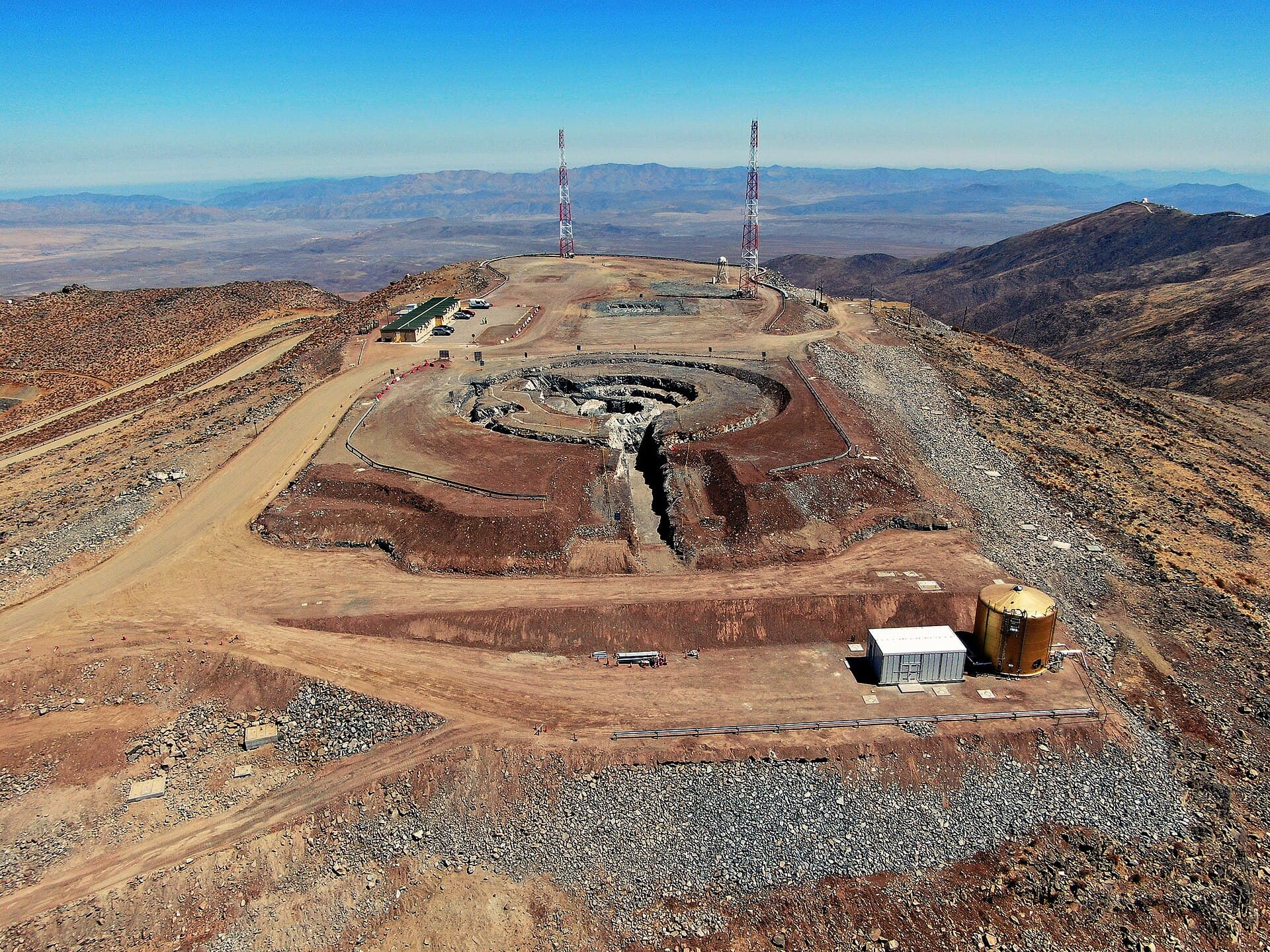
A survey flight that becomes the first version of the record
Not a deliverable filed in a folder. The pass sets the terrain baseline, and the asset hierarchy every later finding will hang from is created at the same time.
Terrain baseline captured
180 ha survey block
- ground sample
- 2.1 cm/px
- waypoints
- 42
- passes
- 1
- coverage
- 100%
Second pass queued over the cut zone
The design grid moved after the geotechnical report. The planner queued a re-fly of the affected 40 ha rather than the whole site.
Identifiers and values are illustrative. They show the fields a survey pass writes into the record.
What the layer does before groundbreaking
Four things, and all four are about making the record exist before there is anything to record.
Survey the ground as it is
A drone pass over the site before work starts, geo-referenced and versioned. This is the only chance to capture the original condition, and it costs one flight.
Set the terrain baseline
The surface model the earthworks will be measured against. Cut and fill volumes later become a subtraction from this rather than an argument between two surveyors.
Create the asset hierarchy first
Blocks, rows, strings, positions. Establishing the tree before anything is installed means every later finding attaches to an identifier that already exists.
Record what constrains the site
Access routes, existing services, boundaries, watercourses and the things nobody remembers by commissioning. Captured once, attached to the map, still there in year eight.
What one pass establishes
What is captured, at what fidelity, and what it becomes in the record. The last column is what the fidelity is set against.
- Terrain surfaceHowPhotogrammetric pass at 2 to 3 cm per pixelWhat it becomesThe baseline every earthworks quantity is later measured fromReferenceISO 19650
- Boundary and setoutHowGround control points tied to the site datumWhat it becomesThe frame the asset hierarchy is positioned inReferenceSite datum
- Access and haul routesHowSame pass, mapped from the orthomosaicWhat it becomesLogistics planning, and the record of what was there beforeReferenceSite plan
- Existing services and featuresHowVisible features from imagery, plus what you already holdWhat it becomesConstraints attached to the map rather than to a drawing setReferenceAs-found
Fidelity is set by what the phase needs rather than by what the aircraft can do. A 2 cm pass over 180 hectares is a different job from a 2 cm pass over a substation bay, and we will say which one your site needs before quoting it.
Three modules, in this phase
The system of record has almost nothing to hold yet, and there is no autonomy worth granting over an empty site. Two modules do the work and a third plans it.
Detect
Flies the survey and turns it into an orthomosaic, a surface model and a versioned set of frames.
Read moreOperations
Holds the hierarchy the survey creates, so there is somewhere for the first finding to attach.
Read moreDecide & act
Plans the pass, and re-plans it when the design moves, rather than repeating a calendar flight.
Read moreWhat leaves this phase
A terrain baseline
A surface model of the site as it was, versioned and dated, that later quantities are measured from.
An orthomosaic of the original condition
Geo-referenced imagery of the ground before work started, at survey fidelity.
An asset hierarchy
Blocks, rows and positions created and named, ready for the first installation record to attach to.
A constraints map
Access, boundaries, services and features held against the site rather than in a drawing nobody opens.
- 01O-EYEDetectInspection & digital twin
- 02O-ARCAnalyseSensors, IoT & telemetry
- 03O-OPSOperationsThe system of record
- 04actsO-AGENTDecide & actThe agentic layer
Every action writes back to the record, so the model sharpens with every job.
Questions from this phase
We already have a surveyor. Does this replace them?
No. A licensed survey and a photogrammetric pass answer different questions, and setout still needs the surveyor. What the pass adds is coverage: a whole-site record at a fidelity nobody would pay a survey crew to produce, captured in an afternoon and versioned so the next pass can be compared with it.
How early is too early?
Before the first machine moves is the useful moment, because after that the original condition is gone. If groundbreaking has already happened we would still capture now, and record the baseline as as-found rather than as-was.
What if the design changes after the survey?
That is the normal case, and it is why the planner re-flies affected areas rather than the whole site. The record keeps both versions, so a variation claim can be argued from what actually changed.
Do we need the rest of the platform to start here?
No. This phase produces a survey record and a hierarchy that are useful on their own. They get considerably more useful once there is something installed to attach findings to, which is the next phase rather than a prerequisite for this one.